
Planet

Making sense of
our changing Earth.
Satellite data can tell us an extraordinary amount about our planet. My work is about helping people use it.
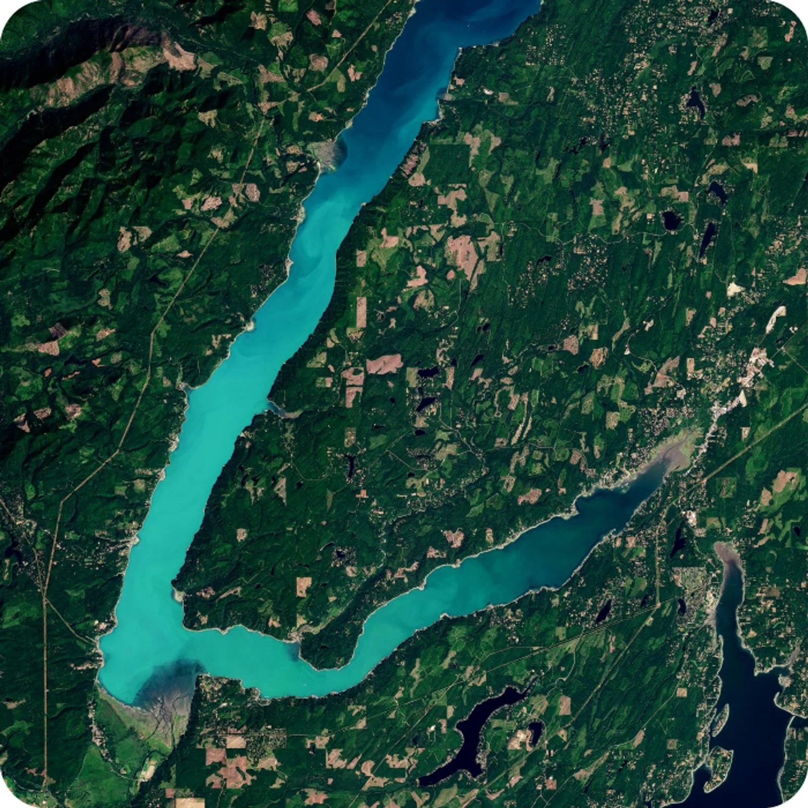
© Planet Labs PBC
From pixels to a useful picture.
In late 2022, I joined Planet, bringing together two long-running interests of mine: design and our astounding planet Earth. I’m now Director of Design, working on products that help people explore and understand Earth-observation data.
There is a lot of complexity behind satellite imagery: different sensors, resolutions, dates, and ways to access the data. The design challenge is to make that complexity manageable, so people can focus on the place, change, or question they care about.
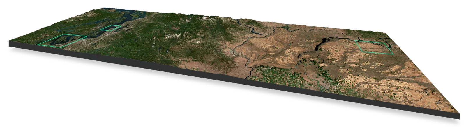
Planet Insights Platform
One platform.
Fewer steps in the way.
A major thread of our work has been unifying Planet’s and Sentinel Hub’s web applications in Planet Insights Platform. It brings imagery, tools, and account workflows closer together, rather than asking people to navigate separate products.
The release introduced a shared welcome experience and navigation, clearer access to subscriptions and data collections, and an easier starting point with sample data and a trial. In one analysis workflow, we reduced roughly 24 steps in EO Browser to about three clicks in Browser.
The workflow comparison refers to the specific example in my platform launch post.
Visual Analysis & SuperRes
A closer look,
with context.
More recently, our work on Visual Analysis has made it easier to explore Planet imagery, move between visual layers, and inspect an area of interest. In a public demo, I took the new interface for a spin over downtown Linz—close to home.
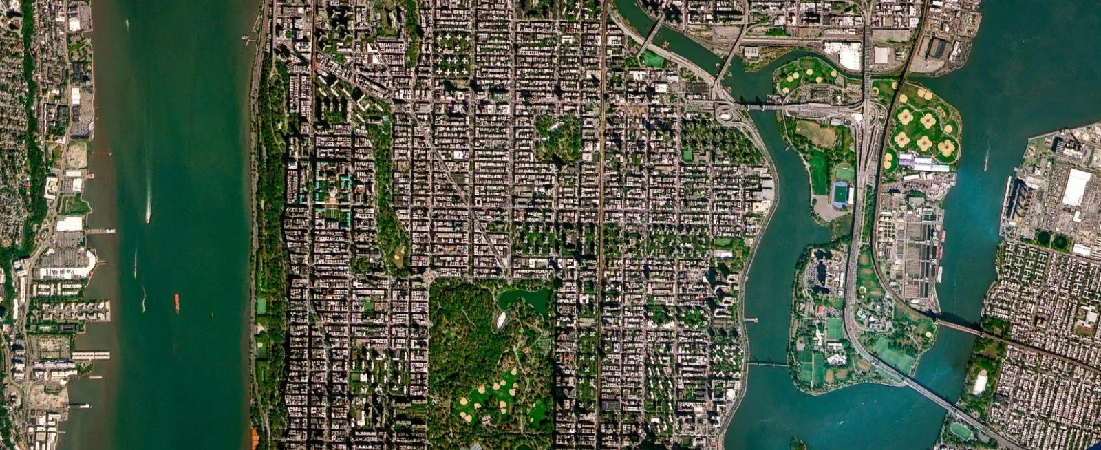
The demo also introduced Planet SuperRes, which uses AI to sharpen 3 m PlanetScope imagery into a 2 m visual product. A confidence layer helps people understand where the model is more or less certain. That context matters when designing tools for human interpretation.
Design is a team effort.
As Director of Design, I work with a team shaping how people interact with complex geospatial data. I care about connecting platform capabilities with useful workflows, understanding people’s jobs and needs, and bringing clarity to difficult problems.
The products shown here are the work of teams across Planet. This page shares a few public examples of our work and the design challenges behind them.
Satellite imagery and Planet brand assets © Planet Labs PBC, sourced from planet.com.
Next projectAlles Clara